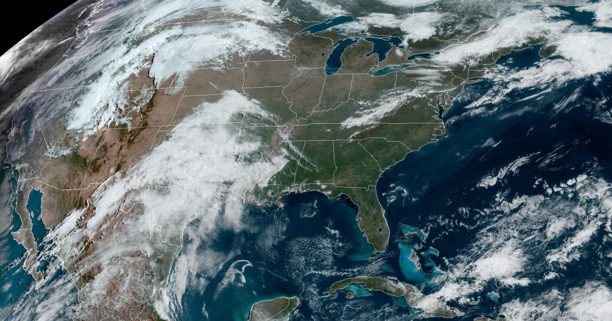
Severe weather is forecast to bring rain, isolated flash flooding, hail and tornadoes to the Plains on Monday and to the Mississippi Valley on Tuesday.
Sixteen million people are at risk from Texas to Nebraska for storms producing baseball-sized hail and a few tornadoes in the evening and lasting overnight. The large hail threat is greatest from Wichita, Kansas, up to the Nebraska – South Dakota border.
The storms will progress eastward overnight Monday and into Tuesday, spreading into the Mississippi Valley, Great Lakes and Ohio Valley.
On Tuesday, 26 million people are at risk from Arkansas up through Iowa and Illinois with a chance for EF-2 or stronger tornadoes from Iowa City into western Illinois and northern Missouri. Large hail and damaging winds are the greatest risks.
Come Wednesday, 12 million people are at risk from Paducah, Kentucky, up through Columbus, Ohio.
Heavy rain will be associated with these storms, with a wide swath of 2 or more inches forecast from Nebraska to Wisconsin through Wednesday.
An enhanced risk of severe thunderstorms has been issued by the National Weather Service’s Storm Prediction Center from the low pressure center in South Dakota, western Nebraska and southward. A slight risk extends into the southern Plains “where storm coverage is more uncertain, but any storms that do develop will still pose the same threat,” The National Weather Service said.
There will also be threats of isolated flash flooding from the northern Plains into the Missouri Valley and parts of the central and southern Plains.
Monday’s severe weather comes after storms hit parts of Ohio and Pennsylvania on Sunday evening. Rain was reported along with golf ball-sized hail in Bristolville, Ohio, as well as coin-sized hail in Boardman, Ohio, and hail in Lawrence County, Pennsylvania, by locals on social media.