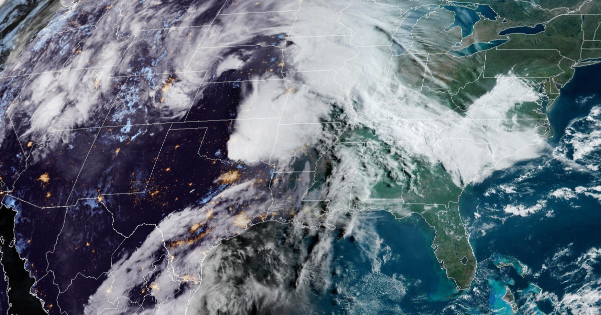
Severe spring storms will bring heavy rain and thunder to the Plains into the Mississippi Valley this weekend — including possible powerful tornadoes, large hail and flooding.
On Friday, 21 million people are at risk for severe storms stretching from northern Iowa to northeast Texas with the main threats including very large hail up to 4 inches in diameter and a couple of possible strong tornadoes in Kansas City, Missouri, and Omaha, Nebraska.
The storms were already underway Friday morning with a tornado watch in effect for eastern Oklahoma.
The most intense storms are expected midafternoon to early evening, and some storms may continue overnight, affecting major cities of Tulsa, Oklahoma; Kansas City, Missouri; Omaha, Nebraska; and Des Moines, Iowa.
The National Weather Service’s Storm Prediction Center has issued an enhanced risk warning of severe thunderstorms for portions of eastern Nebraska, northeastern Kansas, northwestern Missouri and southwestern Iowa on Friday.
Friday night into Saturday, the system will move farther into the Plains, and heavy snow will develop in the Rockies.
Saturday is forecast to be the most volatile day of the outbreak, with 33 million people at risk from the storms across a large area from southern Texas to northern Michigan.
The main threats Saturday again include very large hail and numerous tornadoes, some of which could be strong and travel long distances — from Ames, Iowa, down to Wichita Falls, Texas.
Come Sunday, relentless storms continue over the Plains, and 20 million people from St. Louis to Dallas could see hazardous storms, though less severe than Saturday’s weather.
There’s an increased risk for flash flooding especially across eastern Oklahoma, where downpours could produce over 6 inches of rainfall through Sunday.